




Severe rainfall washes through Highland Lakes
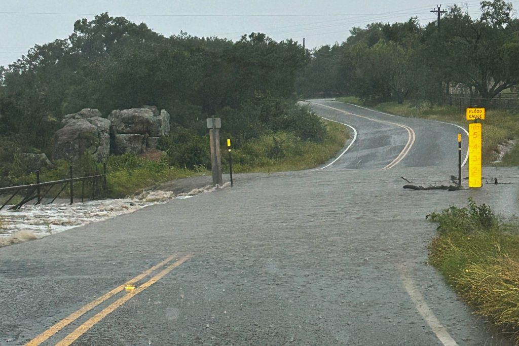
A look at the low-water crossing on Tuesday evening, May 26, at Fairland Road near Dry Branch (branching off Backbone Creek). Staff photo by Jennifer Greenwell
The spring season brought in more rainy weather to pummel the Highland Lakes area on Tuesday evening, May 26, overflowing several low-water crossings, washing out roads, knocking out power, and tallying up as much as 3.56 inches of rainfall over a 24-hour period.
Local emergency service crews reported several road closures, two washouts, and one swiftwater rescue in the wake of the storm.
The city of Llano was without power for about nine hours after critical infrastructure was severely damaged by lightning, requiring extensive repairs lasting until around 3 a.m. on May 27.
Burnet County Emergency Management Coordinator Derek Marchio told DailyTrib that up to 200 residents experienced fluctuating power outages at one time throughout the evening.
Though the rain has let up for now, more wet weather is ahead next week. Marchio emphasized staying aware and prepared in the wake of continued rainfall.
“As a point of safety, people need to be extremely cautious and can not drive over roads with water over them,” Marchio said. “Always be aware of the forecast and plan accordingly. Remember, turn around, don’t drown.”
Road closures
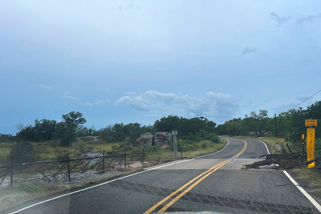
Several low-water crossings and roads throughout the area were reported closed by local emergency crews due to significant rainfall accumulation. Burnet County Emergency Services District 9, Hoover Valley Volunteer Fire Department, and Lago Vista Police Department were among organizations in the area to report the following closures:
- CR 401 South, between Texas 71 and Summit Springs
- CR 401 South at Double Horn Creek
- FM 2147 East at Flatrock Creek
- CR 408 North
- CR 404 at Krause Springs
- CR 404 at Love Creek
- CR 404 at Double Horn Creek
- CR 406
- FM 2342
- CR 116
- RR 1431
Burnet County ESD 9 and LVPD later indicated that all roads affected had been reopened. At around 8:40 a.m. on May 27, the HVVFD shared that some roads, namely CR 116, remained closed.
In addition to these road closures, Burnet County EMC Marchio told DailyTrib that two low-water crossings– one at Mormon Mill Road near Hairston Creek and one at CR 219 in Briggs– had been washed out and were in the process of being repaired as of Wednesday.
Rain accumulation
As per the Lower Colorado River Authority Hydromet, the total rain accumulation throughout cities in the area over the last 24 hours (from 11:30 a.m. on May 26 to 11:30 a.m. on May 27) ranged between 1.5-3.5 inches.
For reference, Hairston Creek near Burnet experienced the second-largest accumulation of rainfall in the Lower Colorado River Basin over the last day at 3.56 inches. Florence, about 11 miles from Briggs, received the most rainfall at 4.51 inches.
City rain gauges throughout the area:
- Horseshoe Bay–3.2 inches
- Kingsland–3.1 inches
- Marble Falls–2.5 inches
- Burnet–2.56 inches
- Buchanan Dam–1.77 inches
- Llano–1.63 inches
Floodgate operations
The LCRA reportedly opened the floodgates of Starcke Dam late Tuesday evening, releasing storm runoff downstream until 7:45 a.m. the next day. According to the LCRA flood webpage, no further gate operations were expected to occur as of May 27.
Swiftwater rescue
Burnet County EMC Marchio told DailyTrib that one swiftwater rescue took place during the downpour, along with a separate non-rescue incident involving a stuck vehicle.