

Highland Lakes swell with spring rain
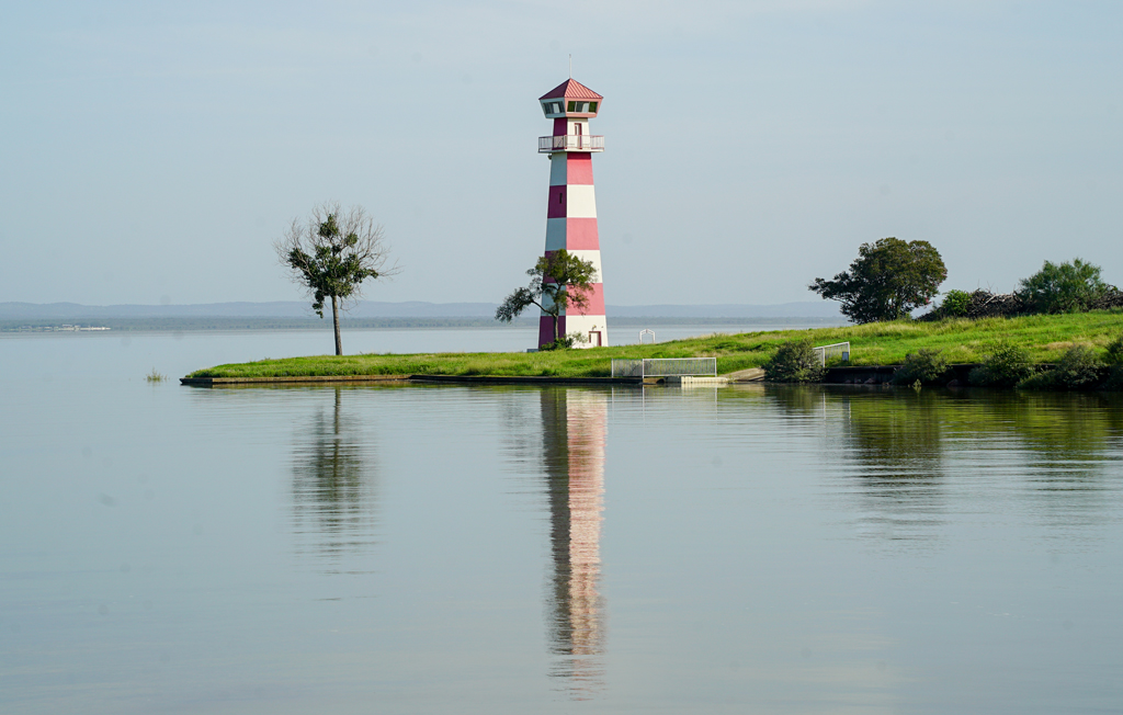
Lake Buchanan is 99.64 percent full as of Tuesday, June, 2. File photo
Following weeks of heavy rain across Central Texas, Lake Buchanan is full and Lake Travis is nearly filled.
As of Tuesday, June 6, the surface of Lake Buchanan is 1,019.86 feet above mean sea level, just shy of completely full, which is at 1,020 feet msl. The reservoir is about 6.4 feet higher than the average for this time of year. The lake is 99.64 percent full at 877,216 acre feet out of 880,356 a-f.
Lake Travis is at 669.9 feet msl as of Tuesday, about 11 feet below its top elevation of 681 feet msl. Travis is about 82 percent full, at 918,329 a-f out of 1.11 million a-f.
Combined, lakes Buchanan and Travis are at 90 percent of their total capacity, currently storing 1.79 million a-f of water. For perspective that is about 12.7 times the amount of water used by the city of Austin annually, which is roughly 140,000 a-f according to the LCRA.
Buchanan and Travis serve as the reservoirs that supply water to millions of Texas residents along the Colorado River, including Marble Falls, Burnet, Granite Shoals, Kingsland, Austin, and beyond.
Rain
According to the LCRA Hydromet, rain gauges across the upper Lower Colorado River Basin showed enormous amounts of precipitation throughout April and May. On the low end, some gauges recorded around 6 inches total between those two months, but others documented close to 20 inches of rain in that same timeframe.
While high rainfall totals in Burnet and Llano counties contributed to the rising levels of lakes Buchanan and Travis, the reservoirs were also bolstered by rain that fell farther north and west. Countless tributaries in San Saba, McCulloch, Mason, Kimble, Gillespie, Blanco, Menard, Brown, Coleman counties, and other Lower Colorado Basin territories all contribute water to the Highland Lakes.
Gauges of note, April-May rainfall:
- Burnet- 16.99 inches
- Buchanan Dam- 15.42 inches
- Tow- 14.75 inches
- Horseshoe Bay/Cottonwood Shores- 14.4 inches
- Bluffton 13.34 inches
- Marble Falls- 12.96 inches
- Kingsland- 12.88 inches
- Llano- 12.42 inches
Historical comparison
While heavy rains have restored lakes Buchanan and Travis, the inflows into the reservoirs are just a fraction of the historical averages. Inflows refers to the amount of water flowing into the combined storage of both lakes from all sources, including the upper Colorado River, Llano River, and all of their contributing tributaries.
According to the LCRA, the average inflows into the lakes in the month of April between 1942 and 2025 are about 96,197 a-f. That average dropped steeply when zoomed in to the 2008-2015 timeframe, down to 40,778 a-f. In 2026, April inflows were just 20,336 a-f.
The 2026 inflows were just 21 percent of the overall historical April average.
Both lakes have maintained relatively high levels since severe flooding struck the Highland Lakes area in July 2025. At the time, Lake Buchanan was completely filled for the first time since 2025.
Lake Travis has not been completely filled since the extreme flooding of October 2018.
1 thought on “Highland Lakes swell with spring rain”
Comments are closed.
With only 0.14 feet (1.68 inches) below full those of us who live below Buchannan on Colorado arm need to be ready to react as gates will have to open if it starts going over full of 1020. Spillway elevation is 1020.35 ft (1020 ft 4.2 in). So less than 6 inches below spillway at present.
LCRA has done a good job managing it so far, but no room for error if there is some more serious rain.