




Highland Lakes area sees moderate flooding
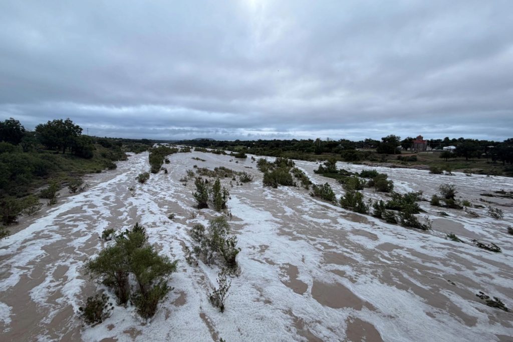
The Llano River crested at about 12 feet on the morning of Friday, Oct. 2, rising just above moderate flood levels. Staff photo by Dakota Morrissiey
Heavy rain across the Lower Colorado River Basin led to moderate flooding across Burnet and Llano counties on Friday, Oct. 2. No major damage has been reported, but some low water crossings were made impassable due to a rise in the Llano River and flood gates on two dams were opened to accommodate the deluge.
The Highland Lakes area was on high alert due to a National Weather Service flood watch which is in effect Sept. 30 through 7 p.m. on Friday, Oct. 2.
The Llano River crested at about 12 feet around 2 a.m. on Friday, pushing it just above flood stage. The Kingsland Slab Road, CR 307, was impassable as of Friday morning due to the flooding.
As of Friday afternoon, the Lower Colorado River Authority had opened flood gates on Wirtz Dam and Max Starkce Dam to accommodate flood waters coming from Lake LBJ into Lake Marble Falls.
Backbone Creek, in Marble Falls, also flooded on Friday. Normally, this would have made Avenue N impassable at the creek crossing, but the new bridge was completed on Tuesday, Sept. 29, allowing safe travel between Meadowlakes and Marble Falls.
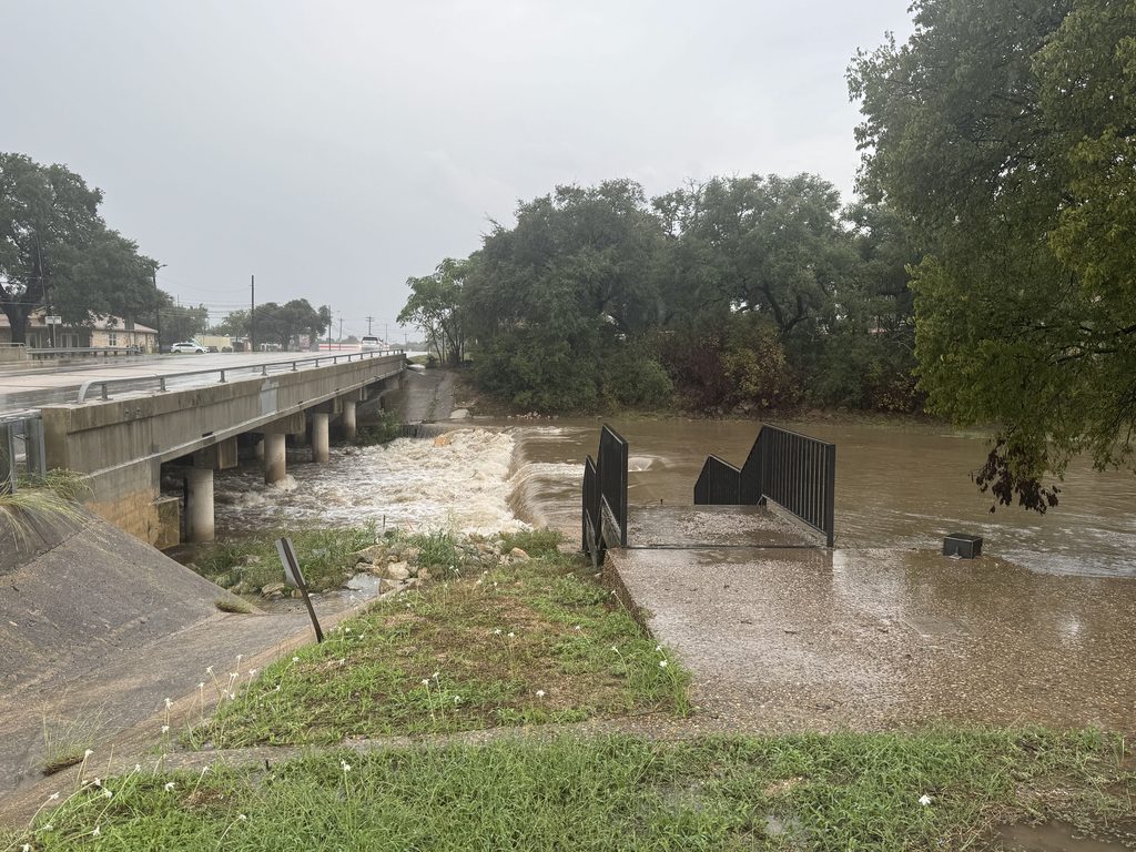
Hamilton Creek rose as well, rushing faster than normal, causing minor flooding within Burnet city limits.
Smaller crossings, like on CR 207 over Mesquite Creek in Burnet County, were completely closed off on Friday.
According to the Lower Colorado River Authority Burnet and Llano counties saw 1.20-5.66 inches of rain over the last 48 hours.
Much of the flooding on the Llano River was likely caused by the heavier rainfall in counties farther to the west, like Kimble and Mason counties, which saw 3.75-7.64 inches of rain according to LCRA rain gauges.