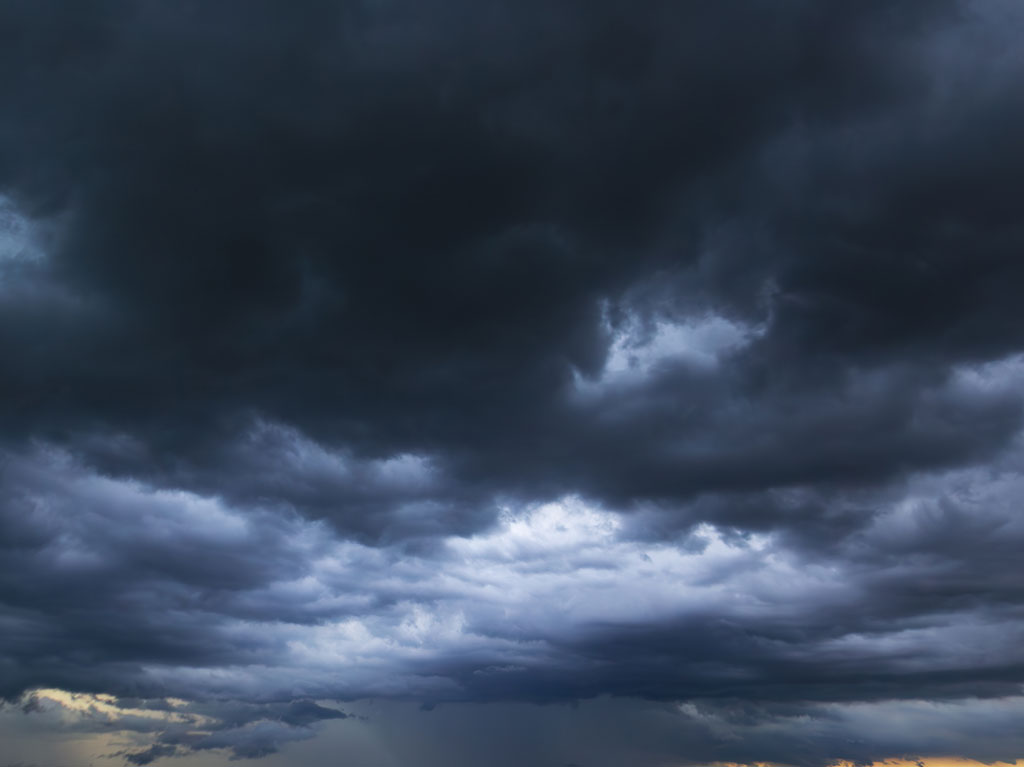
According to the National Weather Service, the Highland Lakes area is under a flood watch from 7 p.m. on Wednesday, Sept. 30, through 7 p.m. on Friday, Oct. 2.
During the flood watch, affected counties could see 2-4 inches of rain with isolated amounts of 8 inches possible.
NWS forecasts show extremely high chances of heavy rain and showers Wednesday through Friday. Thursday, Oct. 1, appears to be the wettest day on the forecast, with a 100-percent chance of rain.
Drivers are warned that many low water crossings could be impassable during the flood watch if the predicted volume of precipitation comes to be.
The NWS flood watch reads:
“There is a potential for life threatening flooding somewhere in the watch area.
“Excessive runoff may result in flooding of rivers, creeks, streams, and other low-lying and flood-prone locations.
“Creeks and streams may rise out of their banks. Flooding may occur in poor drainage and urban areas.
“Low-water crossings may be flooded. Extensive street flooding and flooding of creeks and rivers are possible.”
News stories, staff photos, and other online content are copyrighted property of Victory Media. Reproduction in part or in whole is prohibited without the express written consent of the publisher.
DailyTrib.com moderates all comments. Comments with profanity, violent or discriminatory language, defamatory statements, or threats will not be allowed. The opinions and views expressed here are those of the person commenting and do not necessarily reflect the official position of DailyTrib.com or Victory Media Marketing.
This Content Submission and License Agreement (“Agreement”) is entered into by and between Victory Media Marketing LLC (“Company,” “we,” or “us”) and you (“User,” “you,” or “Submitter”) upon your submission of content through our websites’ See it, Share It form.
Submitted Content “Submitted Content” means any news tips, text, descriptions, images, photographs, videos, audio files, recordings, or other materials you upload, submit, or provide to us via the news tips forms on DailyTrib.com, KBEYfm.com, 101highlandlakes.com, or any other websites owned or operated by Victory Media Marketing LLC.
License Grant By submitting any Submitted Content, you hereby grant to Company a worldwide, non- exclusive, perpetual, irrevocable, royalty-free, fully sublicensable, and transferable license to use, reproduce, modify, adapt, publish, translate, create derivative works from, distribute, perform, display, and otherwise exploit the Submitted Content in any form or medium (now known or hereafter developed), including but not limited to:
Publishing on DailyTrib.com, KBEYfm.com, 101highlandlakes.com, other Company websites, apps, newsletters, and social media platforms (such as Facebook, Instagram, X, YouTube, etc.).
Editing, formatting, or combining with other content for news, promotional, archival, or commercial purposes.
Allowing third parties (e.g., affiliates, syndication partners) to use it under the same terms. You retain ownership of the copyright in your Submitted Content, subject to the license granted above.
User Representations and Warranties You represent and warrant that:
You are at least 18 years old and have the full right and authority to grant the rights in this Agreement.
The Submitted Content is your original work or you have obtained all necessary permissions, consents, and releases (including from any individuals appearing in photos/videos or owners of any third-party materials).
The Submitted Content does not infringe any third-party intellectual property rights, privacy rights, publicity rights, or defame any person.
It complies with all applicable laws and does not contain viruses, malware, or prohibited content.
You will not submit false, misleading, or confidential information.
No Compensation You understand and agree that you will receive no compensation for the submission or use of your Submitted Content.
Indemnification You agree to indemnify, defend, and hold harmless Company, its affiliates, officers, directors, employees, and agents from any claims, damages, liabilities, losses, and expenses (including reasonable attorneys’ fees) arising from your breach of this Agreement or any third-party claims related to your Submitted Content.
Moral Rights and Publicity You waive any moral rights or rights of attribution in the Submitted Content to the extent permitted by law. Company may use your name, username, or likeness in connection with the Submitted Content if applicable.
Termination and Removal Company may, in its sole discretion, edit, refuse to post, or remove any Submitted Content at any time without notice. This Agreement survives any termination.
Governing Law This Agreement is governed by the laws of the State of Texas, without regard to conflict of laws principles. Any disputes shall be resolved exclusively in the courts located in Burnet County, Texas.
Entire Agreement This Agreement constitutes the entire understanding between the parties and supersedes all prior agreements. Modifications must be in writing. By submitting content, you acknowledge that you have read, understood, and agree to be bound by this Agreement.