Flood causes rapid rise of Buchanan and Travis reservoirs
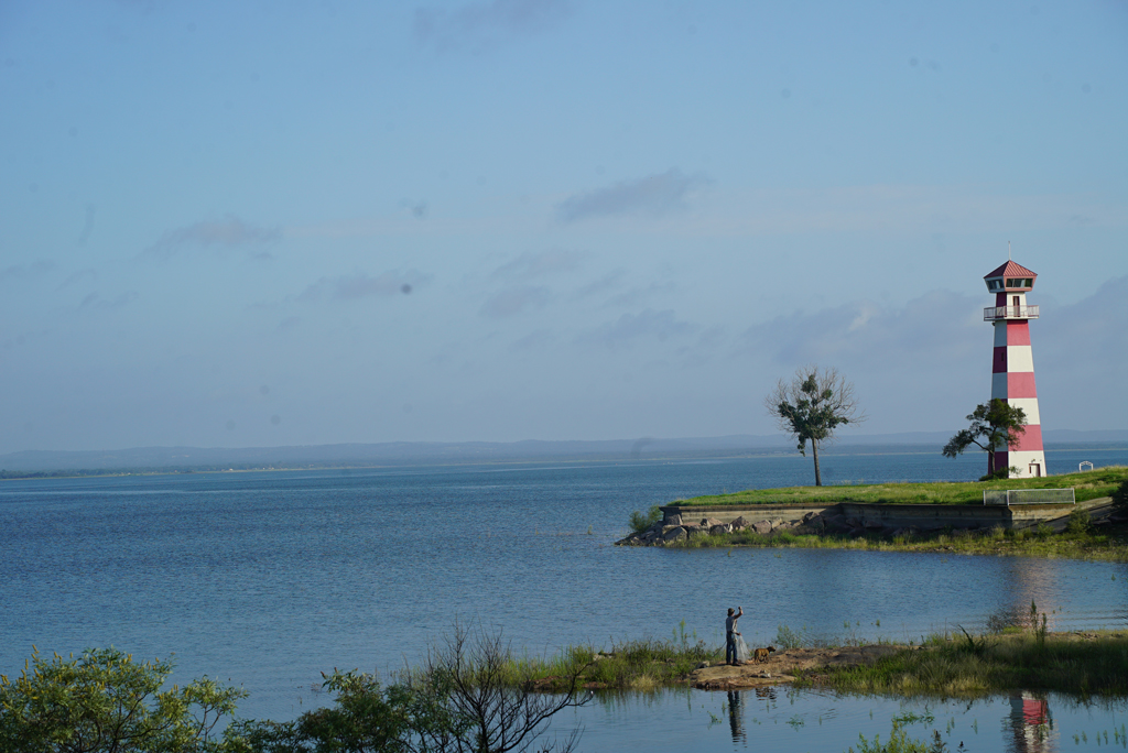
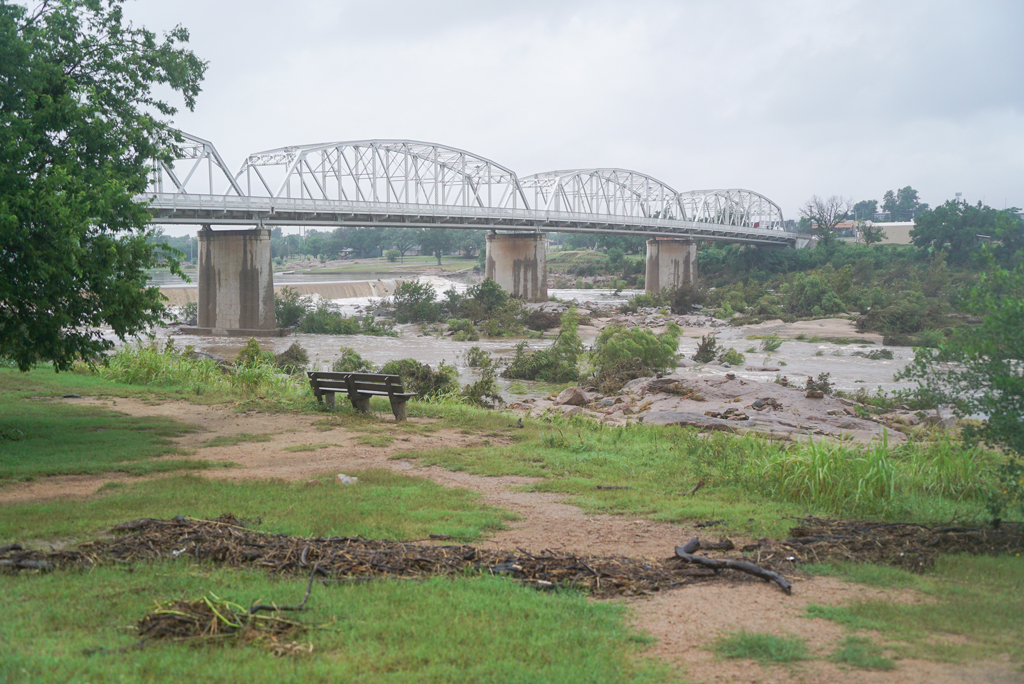
Lake Buchanan rose about 9 feet following the July 4 flood in the Highland Lakes. It is still about 8 feet down from full. Staff photo by Dakota Morrissiey
The Fourth of July weekend flood dumped billions of gallons of water into the Highland Lakes reservoirs of Buchanan and Travis. The Colorado and Llano rivers are still flowing strong and lake levels are rising.
According to the Lower Colorado River Authority’s river report on Tuesday, July 8, the current combined storage of lakes Buchanan and Travis is 73 percent full, or about 1.45 million acre-feet of water, up from about 52 percent on July 3, or about 1.03 million acre-feet, before the flooding began.
- Lake Buchanan is now 80 percent full, up from about 61 percent prior to the flooding. The lake has risen about 9 feet from approximately 1,002 feet mean sea level (MSL) to 1,011 feet MSL. When full, Buchanan sits at about 1,020 feet MSL.
- Lake Travis is now 67 percent full, up from about 45 percent prior to the flood. The lake has risen about 21 feet from approximately 637 feet MSL to 658 feet MSL. When full, Travis sits at about 681 feet MSL.
- LCRA’s current projections predict Lake Buchanan will hit about 1,012-1,013 feet MSL in the coming days and Lake Travis 658-659 feet MSL.
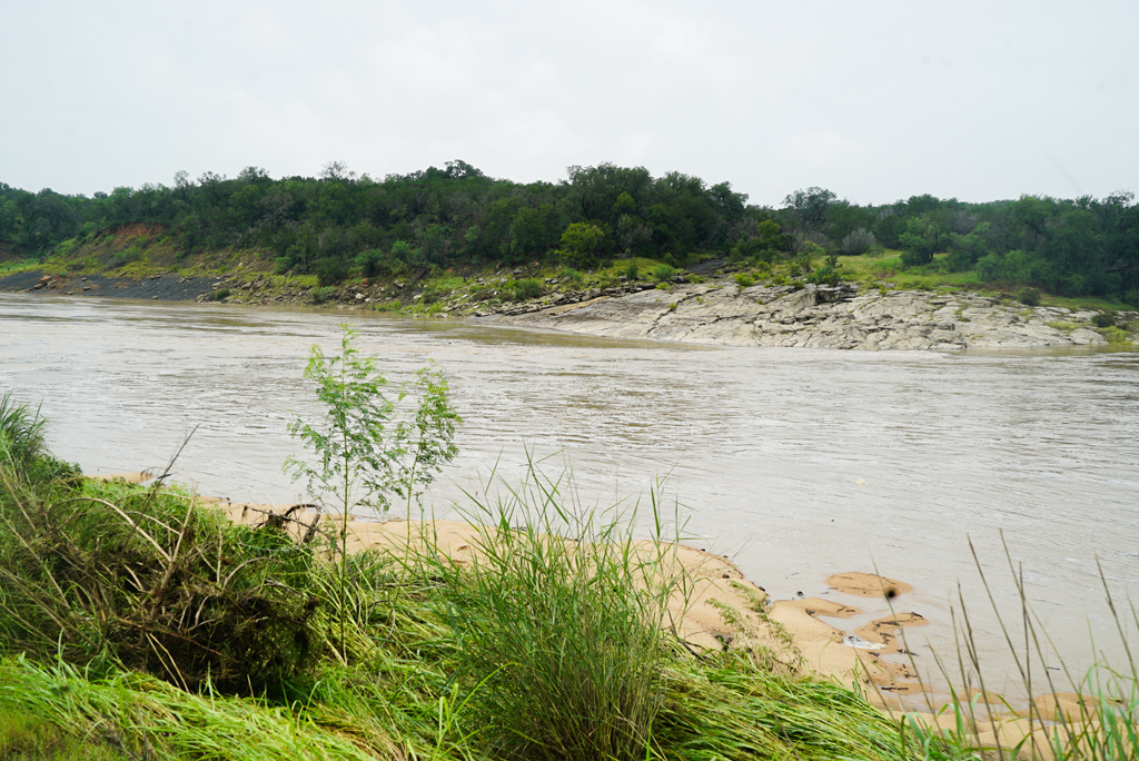
- As of noon Tuesday, the Colorado River was still flowing into Lake Buchanan at about 6,000 cubic-feet per second (CFS). It spiked to about 117,000 CFS at around 9:45 p.m. Saturday, July 5. Prior to the flood, the river was meandering at about 50 CFS.
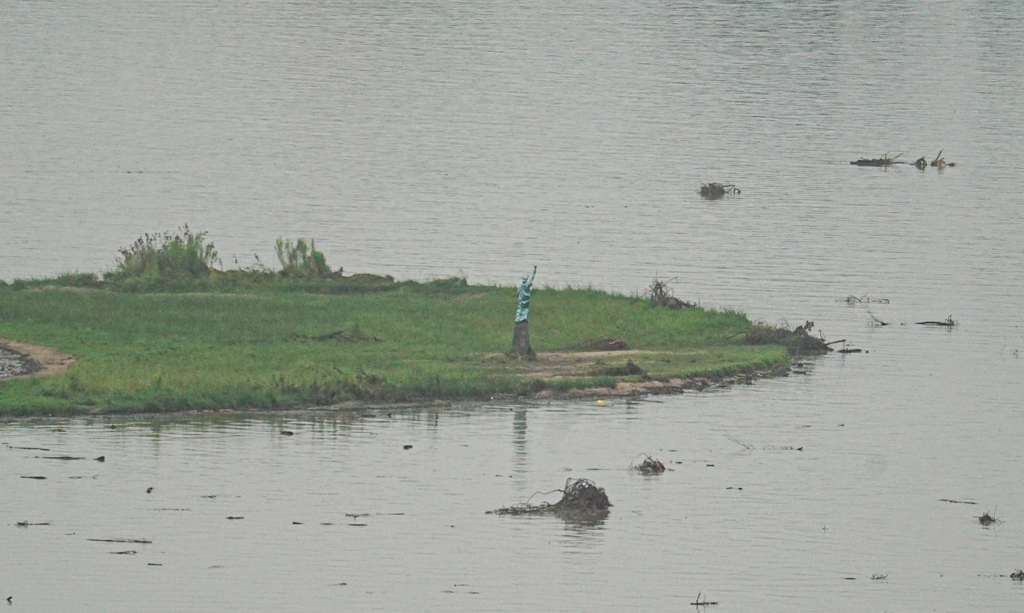
- As of noon Tuesday, the Llano River was still flowing into Lake LBJ, and ultimately Lake Travis, at about 2,589 CFS. It spiked to about 126,000 CFS at around 7 p.m. Thursday, July 4. Prior to the flood, the river was flowing at about 50-60 CFS.
While Buchanan and Travis have seen major increases, both are still below their historical July averages of 1,012 feet MSL and 666.39 feet MSL, respectively.
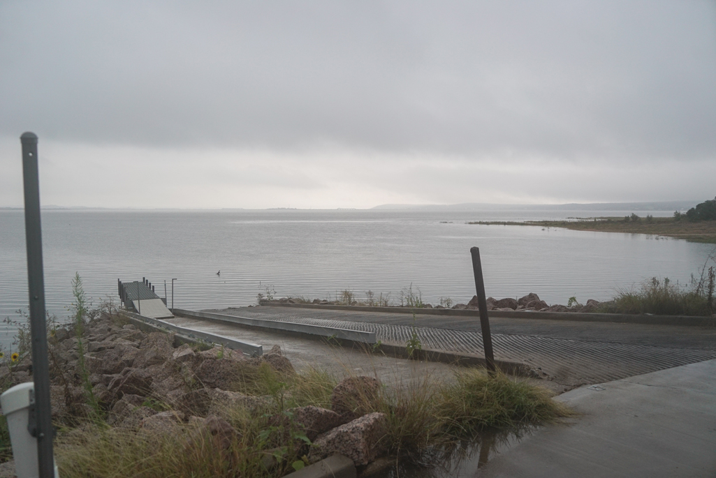
The LCRA has opened floodgates throughout the Highland Lakes chain, including at Inks Dam, Wirtz Dam, and Max Starcke Dam, to manage floodwaters. But no water has been released from Lake Travis in an effort to capture as much as possible in the reservoir.
RAINFALL
The flood was caused by enormous amounts of rainfall across the Lower Colorado River Basin prior to and during the July 4 weekend.
LCRA rain gauges recorded absurd precipitation totals across the Highland Lakes between July 3 and July 8.
A Burnet County rain gauge on Cow Creek measured 22.75 inches of rain, another gauge on Cow Creek just downstream in Travis County had 20.2 inches, and yet another farther downstream measured 19.29 inches. A fast-flowing Cow Creek destroyed a bridge on FM 1174 and another bridge on RR 1431 during the flood.
Rainfall totals by town, according to the LCRA, are:
- Burnet—16.38 inches
- Marble Falls—6.88
- Horseshoe Bay—5.45 inches
- Buchanan Dam—4.15 inches
- Kingsland—3.77 inches
- Llano—5.45 inches
- Tow—7.93 inches
Beyond the rainfall tracked in Highland Lakes communities, gauges along countless creeks and draws likely contributed to the rapid flooding.
High rain totals in counties farther north and west of the Highland Lakes also contributed to the rise in the local reservoirs.
Dozens of rain gauges in San Saba, Brown, Lampasas, McCulloch, Mills, Menard, and Coleman counties measured 5-13 inches of rain during the flood. The creeks and rivers of these counties mostly feed into the Colorado River.
Dozens more gauges in the Llano River watershed, which feeds into the Highland Lakes, also measured several inches of rain, including in Mason, Kimble, Gillespie, and Blanco counties.

