


The science behind the flood
In the aftermath of the Fourth of July weekend flood that devastated Central Texas, weather experts have weighed in on what could have—and could not have—caused the unseasonable deluge.
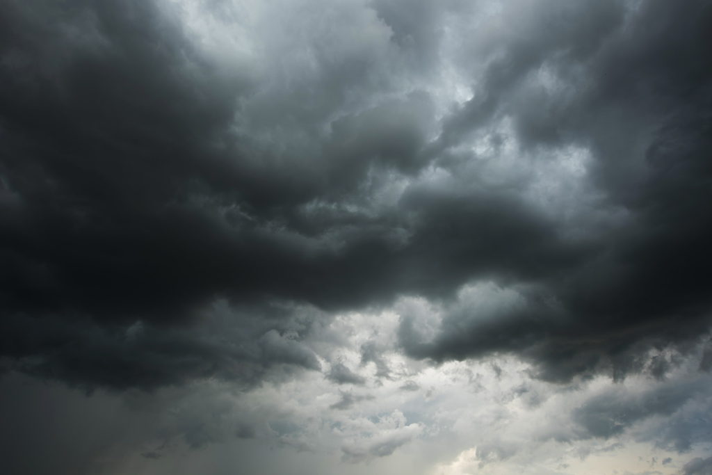
“One of the main reasons the Texas Hill Country has been seeing so much rain lately is a persistent and fairly stagnant atmospheric pattern,” explained Zack Taylor, chief of the National Oceanic and Atmospheric Administration Weather (NOAA) Prediction Center Branch, in an emailed response to questions from DailyTrib.com. “We’ve had weak upper-level winds, which means there hasn’t been much steering flow to move storms along. As a result, thunderstorms have tended to form and just sit over the same areas for a while, dumping heavy—and in some cases, extreme—rainfall.”
Taylor’s assessment is backed up by the numbers.
According to Lower Colorado River Authority Hydromet rain gauges across Burnet and Llano counties, some locations have received over 24 inches of rain since July 1, while other spots got a more meager rainfall, around 3.5 inches on the low end. Measurements across the Highland Lakes routinely show 8-14 inches of rain so far in July.
Data assembled by the Western Regional Climate Center from 1893-2016 shows the average July rainfall in Burnet County is only about 2.02 inches. According to the same data, the county gets around 30.63 inches a year.
Taylor went on to explain that, on top of the stagnant atmosphere, Central Texas has been unusually moist recently.
“The combination of slow storm motion and highly efficient, rain-producing thunderstorms can lead to extreme rainfall over the same area, increasing the risk for significant flash flooding,” he said. “July is typically the month with the highest average amount of water vapor in the lower atmosphere across the country. While this kind of setup isn’t unheard of, it has been especially stagnant and persistent since early July, which has contributed to the higher number of flash flood days across the Texas Hill Country.”
While the Fourth of July weekend flood was especially devastating, much of the Hill Country exists within a zone referred to as “Flash Flood Alley,” which is prone to flash floods due to its steep terrain, shallow soil, and sporadically high rainfall.
“(The Hill Country) has one of the greatest risks for flash floods in the United States,” reads an excerpt from the LCRA’s flood management page.
The Highland Lakes area is no stranger to flash floods, with milder flooding of the Llano River occurring once or twice a year. Major floods, such as the October 2018 flood and the summer 2007 “rain bomb,” are less common but not rare.
CLOUD SEEDING
Following the Fourth of July weekend flood, rumors that “cloud seeding” caused the disaster spread across social media. However, Texas officials and climate experts say there is no scientific evidence behind that theory.
Cloud seeding is a weather modification technique used to improve a cloud’s ability to produce precipitation. The process includes introducing small particles of certain materials, like silver iodide, to existing clouds so they can collect more condensation and create more rain.
The technology has been around for around 80 years, according to the U.S. Government Accountability Office, but its effectiveness is still up for debate. Some studies have shown it can increase cloud precipitation up to 20 percent.
“After an investigation of flight records and program documentation, (the Texas Department of Licensing and Regulation) finds that cloud seeding operations in southwest Texas did not contribute in any way to the rains caused when the remnants of Tropical Storm Barry went onshore on Mexico’s southern Gulf coast and moved northeast across Mexico and into western and southwestern Texas,” reads a July 10 media release from TDLR.
The investigation did find that a cloud seeding operation took place July 2 in Karnes County, about 130 miles southeast of Kerr County, which was hit hard by the recent flood. However, the clouds seeded in this operation reportedly dissipated by 4 p.m. that same day.
Texas Department of Agriculture Commissioner Sid Miller on July 9 released a statement that his department had nothing to do with any cloud seeding operations and that the rumors should be put to rest in general.
“There has been a lot of misinformation flying around lately, so let me clarify: the Texas Department of Agriculture (TDA) has absolutely no connection to cloud seeding or any form of weather modification,” reads the statement. “Let’s put an end to the conspiracy theories and stop blaming others. Our priority should be the recovery efforts in the Texas Hill Country, as we stand in solidarity with our fellow Texans.”
In an interview with the Associated Press, Andrew Dessler, director of Texas A&M University’s Texas Center for Extreme Weather, had a more direct assessment of the cloud seeding rumors.
“The claim that cloud seeding played a role in this tragic event is complete nonsense,” he said.
1 thought on “The science behind the flood”
Comments are closed.

right.. I’ve got ocean front property in downtown Kingsland that I’ll sell you real cheap…